Klik op het zwart kruisje links bovenaan op de kaart voor volledige schermweergave
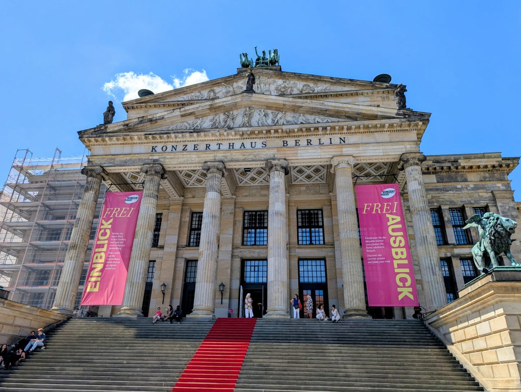
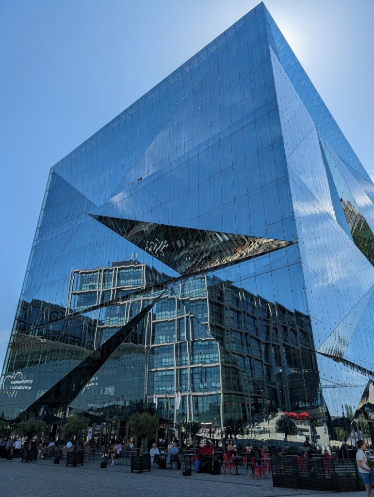
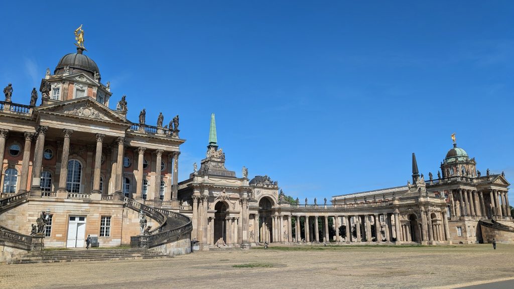
Map of the route “Overzichtje van onze fietsvakanties”: 995,09 km, 3.668 m of climbing and 3.641 m of descent, elevation between 4 m and 303 m. It starts at 50.99411, 4.49087 and ends at 52.51814, 13.37443 (latitude, longitude).
Max elevation: 304 m
Min elevation: 4 m
Total climbing: 3668 m
Total descent: 3641 m
Klik op het zwart kruisje links bovenaan op de kaart voor volledige schermweergave
Map of the route “Overzichtje van onze fietsvakanties”: 823,54 km, 6.268 m of climbing and 6.265 m of descent, elevation between 410 m and 1.267 m. It starts at 47.60930, 9.77646 and ends at 47.61840, 9.78833 (latitude, longitude).
Max elevation: 1267 m
Min elevation: 410 m
Total climbing: 6268 m
Total descent: 6265 m
Klik op het zwart kruisje links bovenaan op de kaart voor volledige schermweergave
Map of the route “Overzichtje van onze fietsvakanties”: 897,17 km, 1.418 m of climbing and 1.418 m of descent, elevation between -2 m and 132 m. It starts at 54.93200, 9.36166 and ends at 54.93940, 9.36324 (latitude, longitude).
Max elevation: 132 m
Min elevation: -2 m
Total climbing: 1418 m
Total descent: 1418 m
Klik op het zwart kruisje links bovenaan op de kaart voor volledige schermweergave
Map of the route “Overzichtje van onze fietsvakanties”: 1.095,42 km, 1.064 m of climbing and 1.045 m of descent, elevation between -1 m and 139 m. It starts at 50.99391, 4.49566 and ends at 51.32798, 4.94047 (latitude, longitude).
Max elevation: 139 m
Min elevation: -1 m
Total climbing: 1064 m
Total descent: 1045 m
Klik op het zwart kruisje links bovenaan op de kaart voor volledige schermweergave
Map of the route “Overzichtje van onze fietsvakanties”: 545,38 km, 6.377 m of climbing and 6.379 m of descent, elevation between 0 m and 441 m. It starts at 59.91169, 10.75036 and ends at 58.14108, 7.99468 (latitude, longitude).
Max elevation: 442 m
Min elevation: 0 m
Total climbing: 6377 m
Total descent: 6379 m
Klik op het zwart kruisje links bovenaan op de kaart voor volledige schermweergave
Map of the route “Overzichtje van onze fietsvakanties”: 1.011,52 km, 2.613 m of climbing and 2.609 m of descent, elevation between 0 m and 224 m. It starts at 55.35382, 13.24328 and ends at 55.35477, 13.24608 (latitude, longitude).
Max elevation: 224 m
Min elevation: 0 m
Total climbing: 2613 m
Total descent: 2609 m
Klik op het zwart kruisje links bovenaan op de kaart voor volledige schermweergave
Map of the route “Overzichtje van onze fietsvakanties”: 1.000,75 km, 10.643 m of climbing and 10.642 m of descent, elevation between 249 m and 2.429 m. It starts at 47.48731, 7.27083 and ends at 47.47863, 7.26902 (latitude, longitude).
Max elevation: 2429 m
Min elevation: 249 m
Total climbing: 10643 m
Total descent: 10642 m
Klik op het zwart kruisje links bovenaan op de kaart voor volledige schermweergave
Map of the route “Overzichtje van onze fietsvakanties”: 1.290,41 km, 2.109 m of climbing and 2.101 m of descent, elevation between 0 m and 127 m. It starts at 57.43741, 10.53863 and ends at 50.99958, 4.49452 (latitude, longitude).
Max elevation: 127 m
Min elevation: -0 m
Total climbing: 2109 m
Total descent: 2101 m
Klik op het zwart kruisje links bovenaan op de kaart voor volledige schermweergave
Map of the route “Overzichtje van onze fietsvakanties”: 1.429,67 km, 1.299 m of climbing and 1.299 m of descent, elevation between -3 m and 102 m. It starts at 50.99412, 4.49083 and ends at 51.04433, 4.49421 (latitude, longitude).
Max elevation: 102 m
Min elevation: -3 m
Total climbing: 1299 m
Total descent: 1299 m
Klik op het zwart kruisje links bovenaan op de kaart voor volledige schermweergave
Map of the route “Overzichtje van onze fietsvakanties”: 853,19 km, 2.384 m of climbing and 2.384 m of descent, elevation between 1 m and 149 m. It starts at 50.99499, 4.49025 and ends at 51.00884, 4.49220 (latitude, longitude).
Max elevation: 149 m
Min elevation: 1 m
Total climbing: 2384 m
Total descent: 2384 m