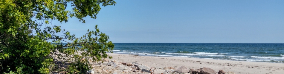
Overnachting Campground Møglestu
Klik hier voor alle andere fotos
Chilldag 1. Bezoekje aan Lillesand en een lekkere koffie op het terras van Strandhaven met zicht op de haven. Bootjes kijken. En ook een beetje mensen kijken later op de camping.
EtappeVandaagDe volledige route
Klik op het zwart kruisje links bovenaan op de kaart voor volledige schermweergave
Map of the route “Noorwegen Dag 19: ma 18 jul 2022”: 7,94 km, 396 m of climbing and 402 m of descent, elevation between -26 m and 45 m. It is a loop that starts and ends at 58.26095, 8.36803 (latitude, longitude).
Total distance: 7.98 km
Max elevation: 45 m
Min elevation: -30 m
Total climbing: 396 m
Total descent: 402 m
Max elevation: 45 m
Min elevation: -30 m
Total climbing: 396 m
Total descent: 402 m
Klik op het zwart kruisje links bovenaan op de kaart voor volledige schermweergave
Map of the route “Noorwegen Dag 19: ma 18 jul 2022”: 545,38 km, 10.596 m of climbing and 10.596 m of descent, elevation between 0 m and 441 m. It starts at 59.91169, 10.75036 and ends at 58.14108, 7.99468 (latitude, longitude).
Total distance: 546.74 km
Max elevation: 442 m
Min elevation: 0 m
Total climbing: 10596 m
Total descent: 10596 m
Max elevation: 442 m
Min elevation: 0 m
Total climbing: 10596 m
Total descent: 10596 m